Land Surveying
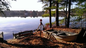
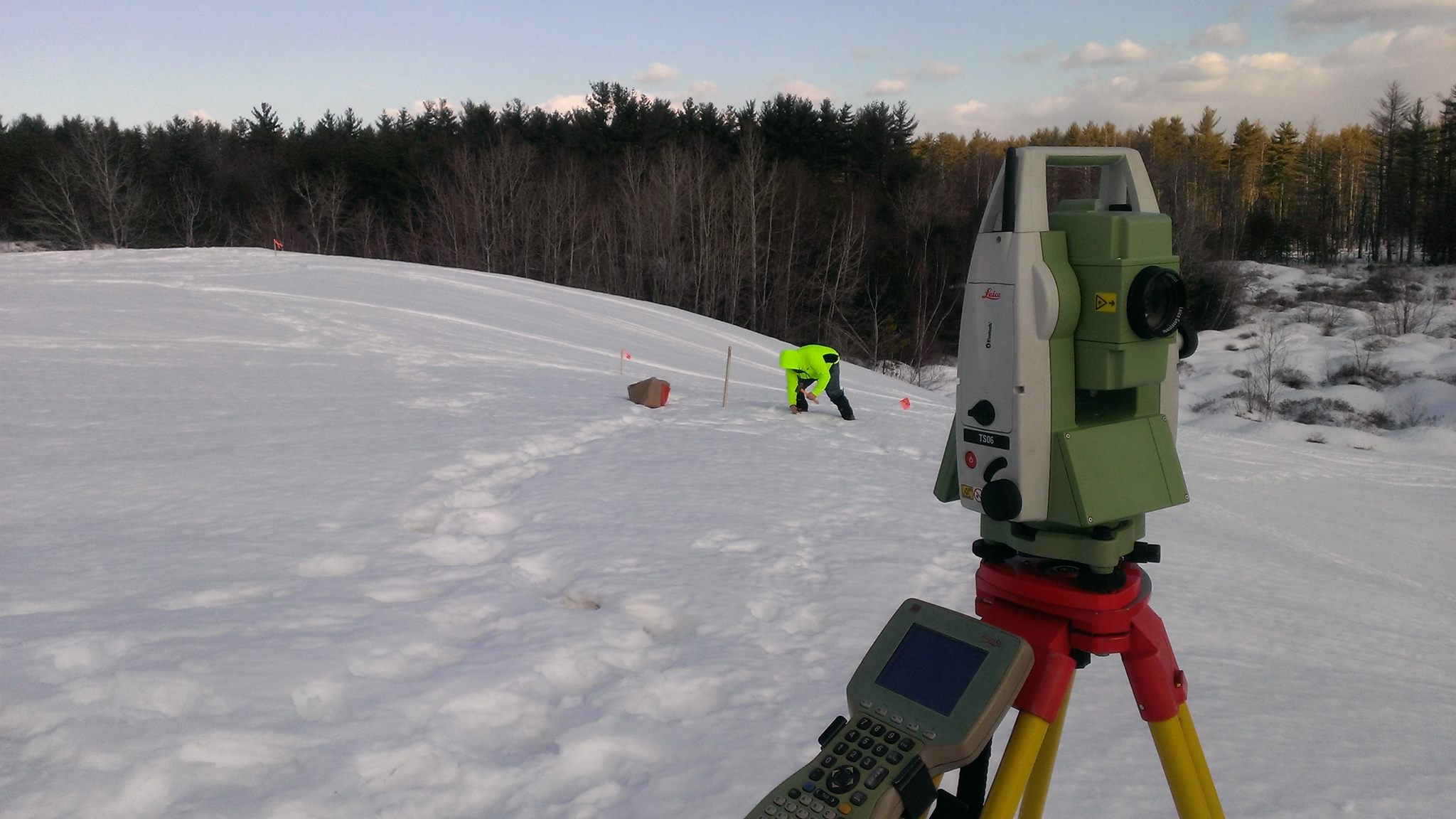
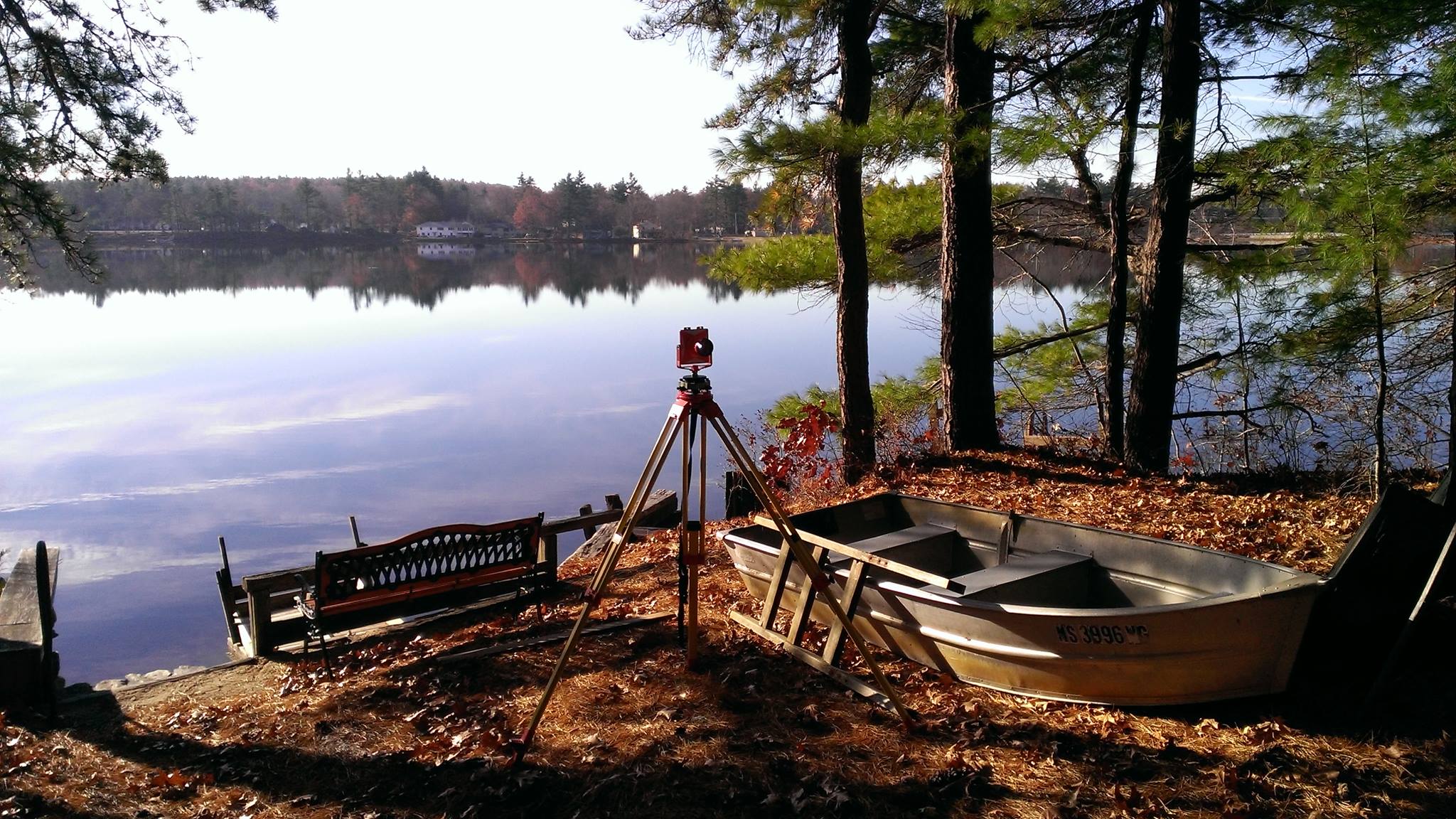
The GPR survey department uses the latest in computer technology for all aspects of surveying tasks. The utilization of total stations, conventional and robotic, with electronic data collection and automated file allows transfer to the office computers with high efficiency and accuracy. GPR has GPS capability as well when required. GPR is fully licensed for use of current applications of AutoCAD™ Land Development Desktop and Civil 3D software.

Land Survey Services that GPR offers:
- Deed and Record Research
- Boundary Location Survey
- ALTA/ASCM Land Title Survey Plans
- Approval Not Required (ANR) Plans
- Subdivision Plan
- Easement Plans
- Topographic Survey
- Wetland Location
- Lot Line Staking and Boundary Monumentation
- Building Permit and Construction Record Plans
- Construction Staking
- Construction Record Survey
- Construction Record Certification
- GPS/Photogrammetric Control Survey
- Certified Plot Plan
- FEMA Flood Plain Certifications and LOMA’s


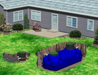 A Guide to A Homeowners Septic System Manual